There’s no doubt there are some exceptional Blue Mountains views to be seen, many of which are so easily accessible you can drive virtually right on up.
But some of the best lookouts in the Blue Mountains require a little more effort than that to take in their breathtaking views. Not only that, but some of them are among the best walks in the Blue Mountains!
Here’s where you can find some of my favourites!
As always with my posts I’ll be adding to this one as I find new locations, but for the time being it also includes a few which I know are worth inclusion and are on my to-do list, but I haven’t managed to do to get my own photographs as yet.
This post contains affiliate links. Making a purchase through these links earns a small commission at no additional cost to you and is a great way to show your support to this site.
Elizabeth Lookout
Suburb: Glenbrook
Distance: 2.2 kilometres out and back
Difficulty: Easy, this is a fire trail so the walk is reasonably flat.
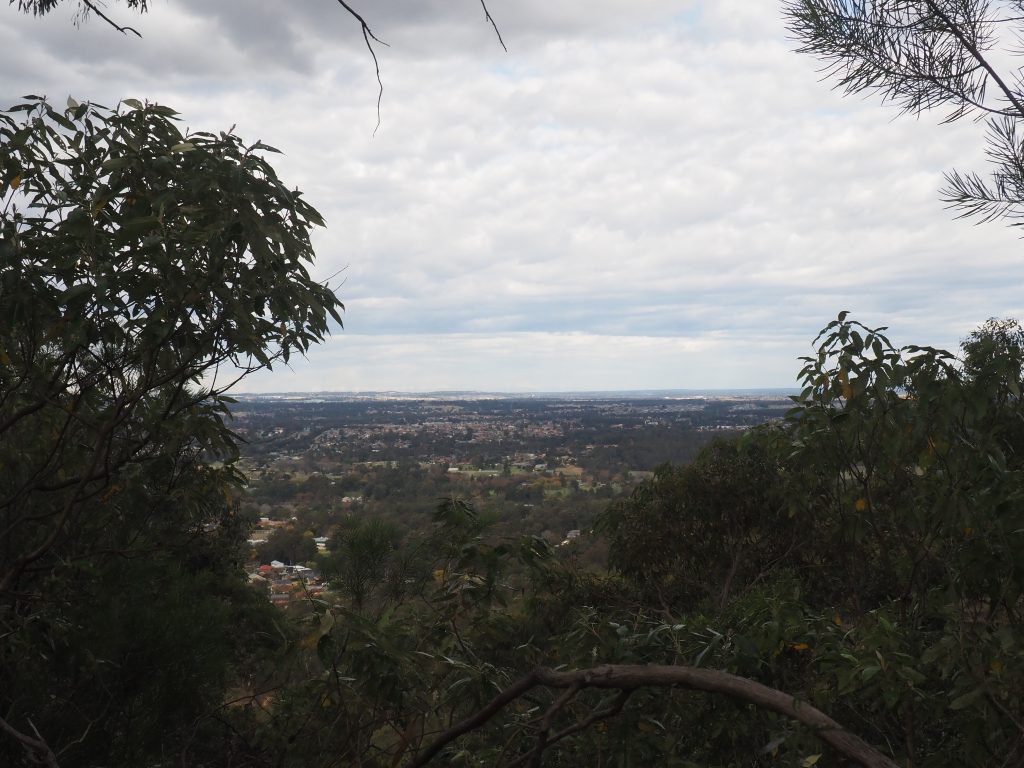
How to find it: This isn’t the best view in the mountains by a long shot and isn’t an overly big area of unobstructed view due to the trees. However it does look east towards the city and over Penrith, so this is a good Blue Mountains lookout to watch a sunrise!
Park in the parking area on Barnet Street in Glenbrook and head on into the reserve. Stay straight on the fire trail until you reach the fork, which is signposted for Elizabeth Lookout on the right.
Marges Lookout
Suburb: Glenbrook
Distance: 2.6 Kilometres out and back
Difficulty: Easy, this ones also a fire trail
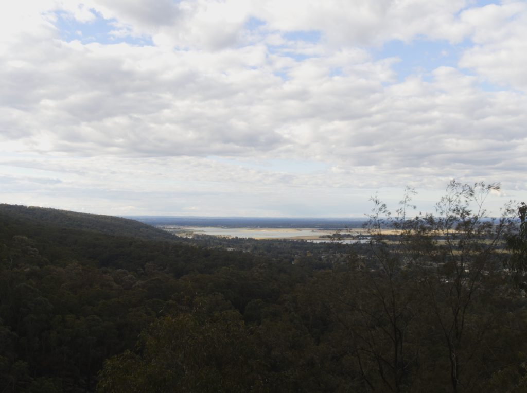
How to find it: If you’re out at Elizabeth Lookout you may as well swing by this one as its just a couple of hundred metres difference. Follow the same directions as for Elizabeth Lookout except swing left at the fork instead.
Marges Lookout faces more of a Northerly direction and looks out towards the Hawkesbury region.
Greens Road (Warrimoo Lookout)
Suburb: Warrimoo
Distance: This is an out and back trail 5 kilometres in total
Difficulty: The track is a fire trail, so it is wide and not too difficult though there are some inclines and patches of loose rock. To get to the best view at the end requires some rock scrambling however.
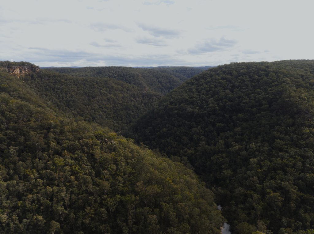
How to find it: I have seen this one labelled as Warrimoo Lookout, but I have also seen another Warrimoo Lookout on the other side of the highway hence I’m sticking with the road name. If you look on Google maps you’ll find that the track is labelled as Greens Rd all the way out to the lookout, however it is gated after the houses end. There is room for a handful of cars to park here.
There are a few smaller paths on the left but stay straight on the road until it swings around to another gate on the left when you reach a cliff edge. Up until the next gate is crown land and dogs are permitted, however this isn’t a big stretch so it doesn’t offer much of a walk. Beyond the gate is national park and dogs are not permitted.
Again stay on the firetrail and take the right option when you reach a fork at around the 1 kilometre mark. The left is a service road for the tower.
The trail appears to end on a large rock slab and you might be disappointed by the limited views on offer, however with a little searching you’ll find where the trail picks up after a scramble down the rock. Follow this until you reach the outcrop and climb on up for views of Glenbrook Creek and up the valley towards Springwood.
This spot does look towards the west so head for this one early if you don’t want to be staring into the sun. It would also be a great Blue Mountains lookout for sunset if you don’t mind the walk back afterwards.
At the right time of year this track offers lovely wildflowers.
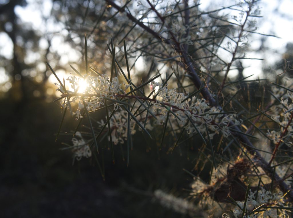
Martins Lookout
Suburb: Springwood
Distance: 200 metres from the carpark
Difficulty: Easy. There’s a bit of uneven ground and a few rock stairs but it isn’t difficult.
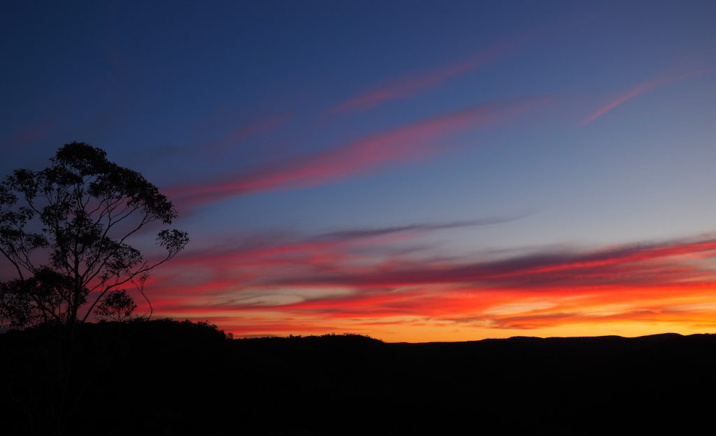
How to find it: The dirt road to get to Martin’s Lookout commences at the end of Farm Road in Springwood and it is approximately a kilometre from entry to the carpark. There is room here for a number of cars and the path to the lookout commences from here. While it has been tarred until the entry gate to the National Park, the final part of the road is dirt and was pretty rough last I was out there so this isn’t one for the low vehicles to attempt. A lot of people just park their cars on Farm Rd and walk.
Ok I’m scraping this one onto the list just because it is one of my absolute favourite spots in the mountains. It’s also my secret local spot to watch a quiet sunset over the mountains.
From here you can also access a number of excellent walking tracks, including walking down into the valley and crossing Glenbrook Creek to walk up the other side to Bunyan and Lost World Lookouts.
Lost World Lookout (photo to come)
Suburb: Springwood
Distance: 6.3 kilometers return
Difficulty: Challenging. Not only will this require a steep ascent and descent on both sides of the valley, but the trail is also unclear in parts and may be difficult to follow.
How to find it: If you stand at Martins Lookout and look out across the valley in a roughly South-easterly direction, you may see a white cross perched on top of a cliff. You are looking at Lost World Lookout. The cross stands in memorial to Reverend Rayner, who drowned attempting to save a student from drowning in the 1950’s. You can just make out the cross in this photo taken from Martins Lookout.
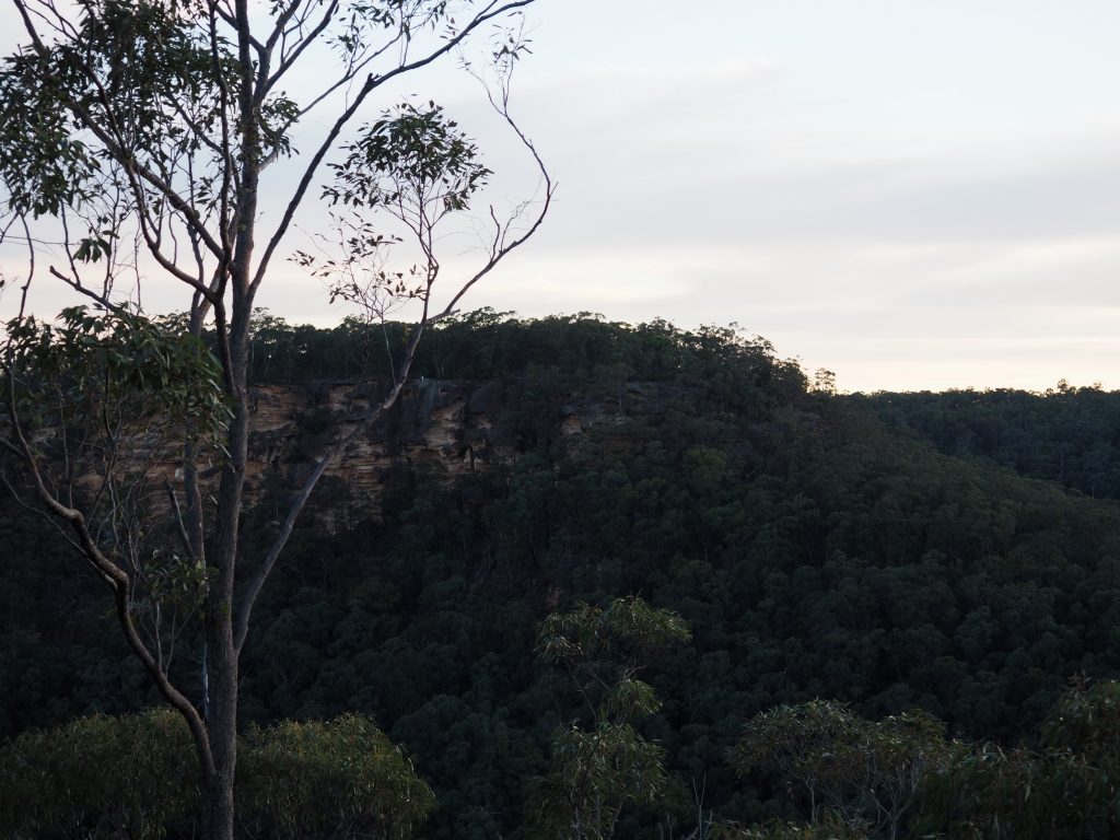
From Martins Lookout you will descend into the valley and cross Glenbrook Creek, before ascending up the ridge on the other side towards the Lost World.
Grab a copy of the Blue Mountains Best Bushwalks, an essential guide for anyone embarking upon exploration in the Blue Mountains.
Grose Head South Lookout (photo to come)
Suburb: Winmalee
Distance: 14 kilometres return, though I believe this is the distance if you do the full loop plus the detour. If you prefer a more direct route it can be done in approximately 12 kilometres.
Difficulty: The 10 kilometre loop of this track is relatively easy fire trail. A 4 kilometre return deviation from the trail will ascend the ridge to Bees Nest Hill and Grose Head South Lookout.
How to find it: The Blue Gum Swamp track begins at the end of Whitecross Road in Winmalee. The turnoff for Grose Head South is near the halfway point on the full 10 kilometre loop. If you plan to do the full loop and the diversion, take it anti-clockwise so as to go down the steep hill at the beginning and have the gentler ascent on the way out. For a shorter, in and out route, swing left at the sign for Blue Gum Swamp and after about 4 kilometres you will reach the signposted turnoff for Bees Nest Hill and Grose Head South
You’ll also get to enjoy the walk through the forest of Blue Gums that gives this walk its name.
Faulconbridge Point
Suburb: Faulconbridge
Distance: The sign at the entrance says 6.4 kilometres but both my watch and my phone clocked it at about 13.5 kilometres out and back.
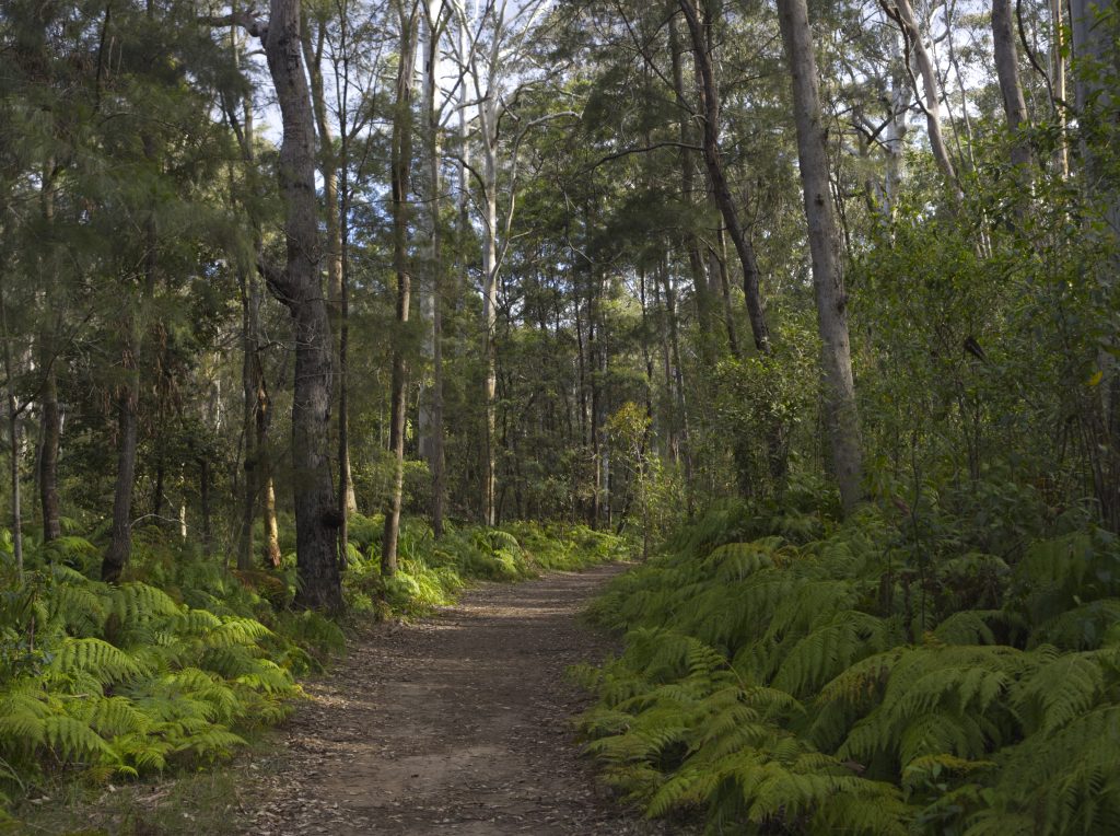
Difficulty: This is a well maintained fire trail, with plenty of flat and sandy bits. There is some undulation on the track but the inclines are gentle, or at least they are on the way there. The difficulty with this one kicks in with the length, the hills seem a lot harder once some fatigue is setting in.
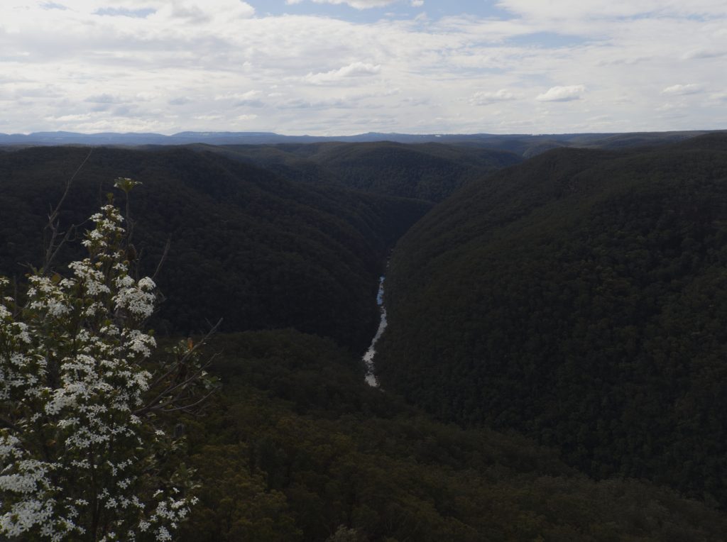
How to find it: The trail starts at nearly the end of Grose Road in Faulconbridge, stay on Grose Road until you come to a point where the road divides into two and take the left fork. It is signposted for Faulconbridge Point. There is a kilometre or so of dirt road until you reach the locked gate you’ll be walking from.
Once past the gate its impossible to get lost, it is the only trail. Follow it until you reach Faulconbridge Point, which will offer views of the Grose Valley and Grose River below. The trail runs along the ridgeline so it stays high, there’s no cool relief by heading down into the valley and it is quite exposed, so not one for the heat of Summer.
Kings Tableland
Suburb: Wentworth Falls
Distance: Less than a kilometre, how much less will depend on where you park.
Difficulty: Easy. The track is well established, and reasonably flat. There is no shade however so best not to visit in the hottest part of the day with the sun straight overhead.
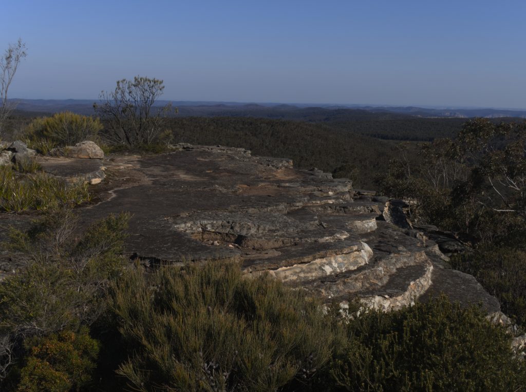
How to Find it: Not far from the residential area, the entrance is a dirt track at the bottom of Queen Elizabeth Drive which is off Tableland Road. You may find it easier to park on Tableland Road and walk from there.
Kings Tableland is the location of the oldest Aboriginal occupation site in the Blue Mountains and is remarkable for that alone. From the top of the site not only does it offer interesting rock formations but views to the east, south (pictured) and west. I’ve not tried it myself yet but I suspect this would be a good Blue Mountains lookout for both sunrise and sunset!
Rocket Point
Suburb: Wentworth Falls
Distance: If going via the top of Wentworth Falls; 2.4 kilometres. If going from Kings Tableland; 3.2 kilometres.
Difficulty: There are a few inclines on this whichever route you take but it’s an easy walk.
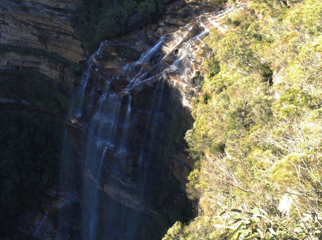
How to find it: There are two routes to Rocket Point.
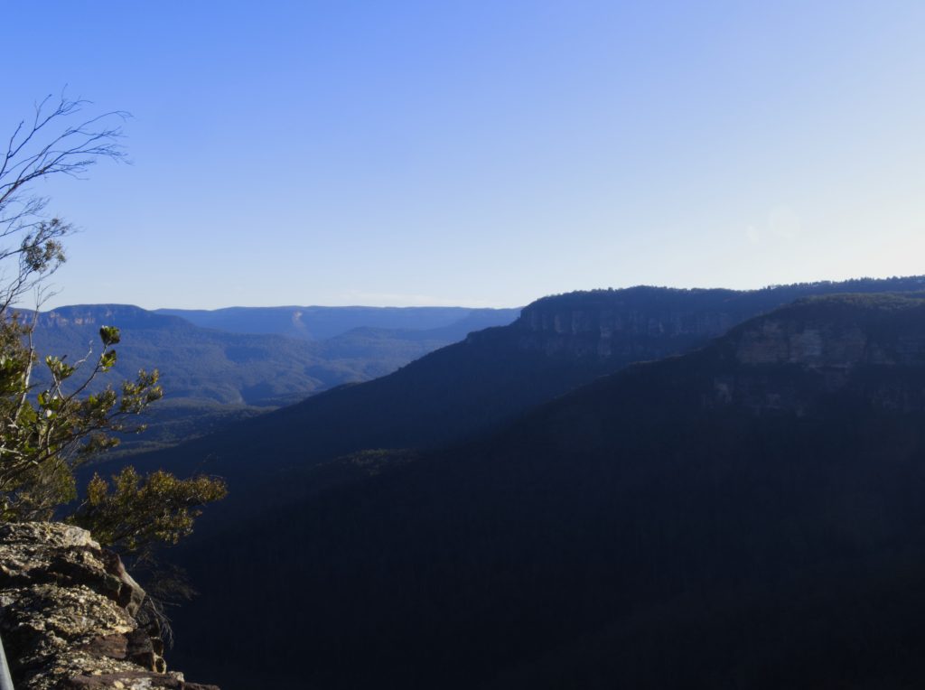
The shorter route is to head to the top of Wentworth Falls via the Wentworth Falls Lookout Track which starts at the parking area at the end of Falls Road. It’s a lovely walk and offers great views of the Jamison Valley along the way. Carry on over the top of the falls and take the left path that heads up, the one that continues on straight will head towards the bottom of the falls. Follow the track until you reach a natural rock arch where you will see a sign for Rocket Point Lookout on the other side. Go right on the other side of the arch and the lookout is a short distance away.
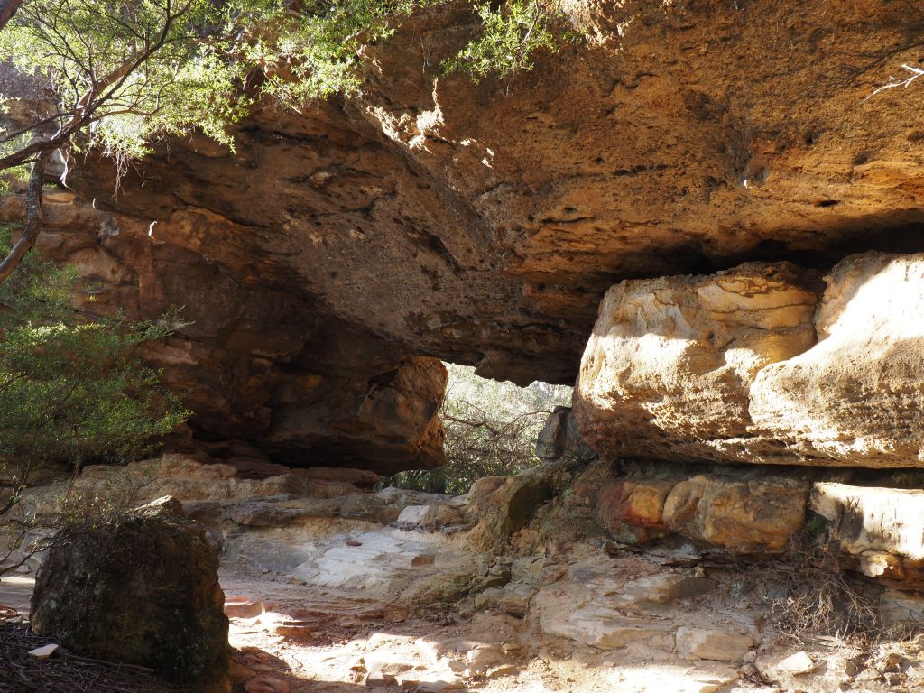
Alternatively you can start from Chester Road and take the Chester Road fire trail at the end. Carry on until you reach the sign for Rocket Point lookout on the right, which should be near a clearing. You will pass a rock platform which provides great views of the Jamison Valley but not of the falls. This route comes down the other side of the archway, continue on past the arch and sign to Rocket Point Lookout.
Princes Rock
Suburb: Wentworth Falls
Distance: 1.8 kilometres return
Difficulty: This is a constructed and well maintained track so it isn’t rough, but it does have a lot of steps.
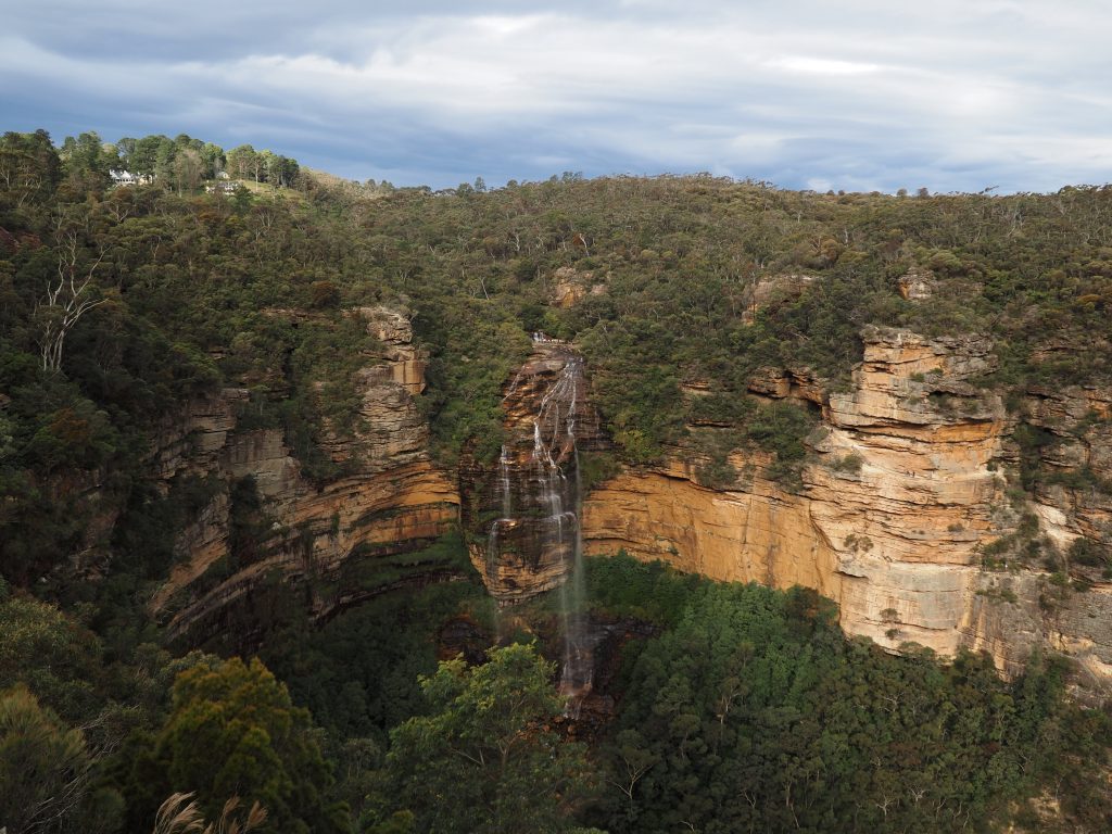
How to find it: Like Rocket Point, this lookout offers a great view of the cascading Wentworth Falls but from a frontal aspect.
The walking track for Princes Rock kicks off from the picnic area in Wentworth Falls which is at the end of Falls Road. It is well signposted and is a popular lookout so it is likely to be busy.
Queen Victoria Lookout
Suburb: Wentworth Falls
Distance: Less than 500 metres
Difficulty: While it may not be long in length, it is comprised almost entirely of stairs!
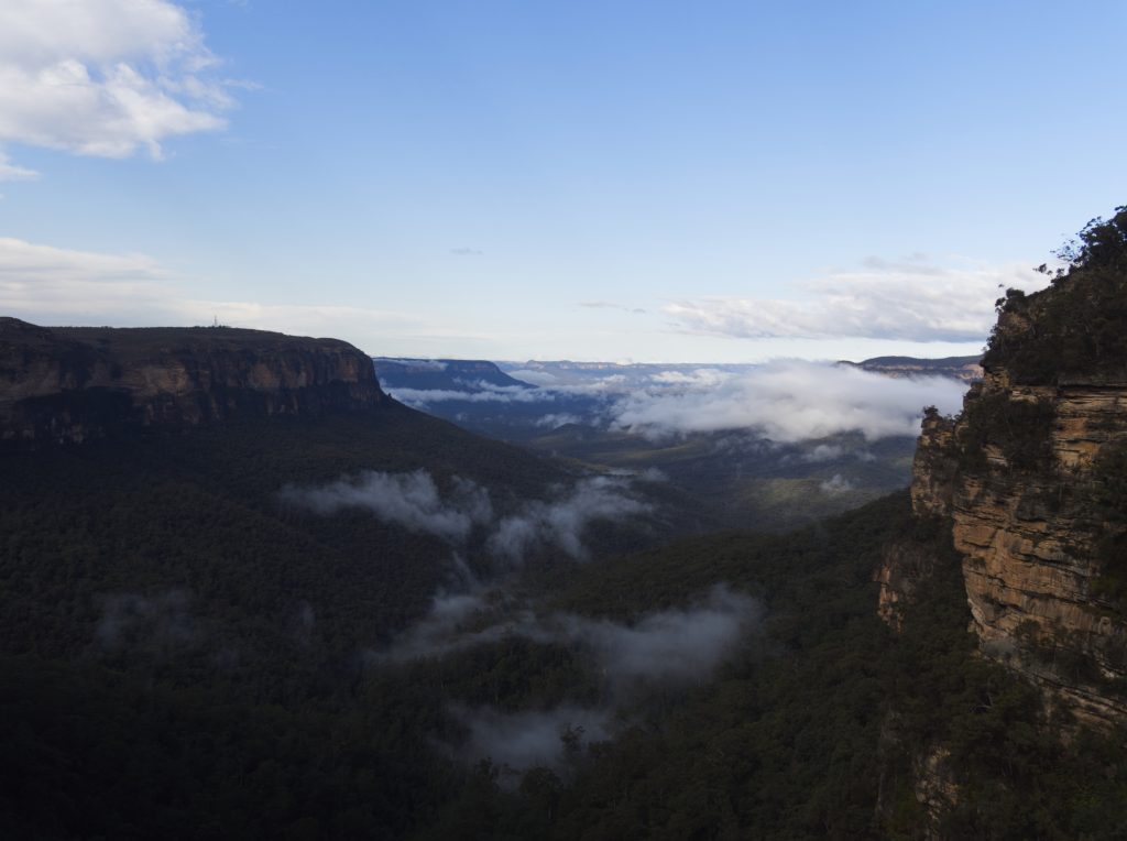
How to find it: Starting from the Conservation Hut in Wentworth Falls, take the Valley of the Waters track and stay on it until you reach the sign indicating Queen Victoria lookout on the left.
An early morning visit might be rewarded with seeing the clouds resting in the Jamison Valley below. Kings Tableland can be seen on the left.
Lockleys Pylon
Suburb: Leura
Distance: 7 kilometres return
Difficulty: This has a few inclines and some patches of loose stone but overall isn’t a terribly difficult walk. There is a short, steep climb to the top of the Pylon but it is worth it. This route follows a ridge line and is super exposed to the elements so this isn’t one to try and tackle in extreme conditions. Before the 2019-20 bushfires this track was plentiful for wildflowers at the right time of year. This is one of my absolute favourite walks in the mountains!
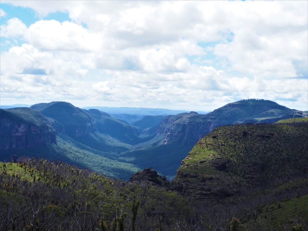
How to find it: Head for Mount Hay Road at Leura and travel through the gate. There are a few other spots along the road but you’ll go about 10 kilometres to the start of the Lockleys Pylon track on the left. This is a dirt road and its not always in the best shape so not one to take a lowered vehicle on.
This spot also faces east so another one to hit for sunrise photos!
Baltzer Lookout (photo to come).
Suburb: Blackheath
Distance: 8 kilometres return
Difficulty: I’m yet to do the full track for this one myself, but the few kilometres I have done are a fire trail and pretty easy.
How to find it: Head for Ridgewell Road in Blackheath and follow it until you reach the gated entry for the Burramoko Fire Trail. This lookout is on my list of recommended sunrise locations, and offers views of the Grose Valley. If you continue down the trail on the left you’ll also reach a vantage point to see the local landmark, Hanging Rock, jutting into the air above the valley. Be careful as this does require some rock scrambling and this area is unfenced.
Asgard Head
Suburb: Mount Victoria
Distance: Depending on how many of the detours you take this walk is between 7 and 9 kilometres.
Difficulty: All except the final half kilometre to Asgard Head is a fire trail so this is pretty easy.
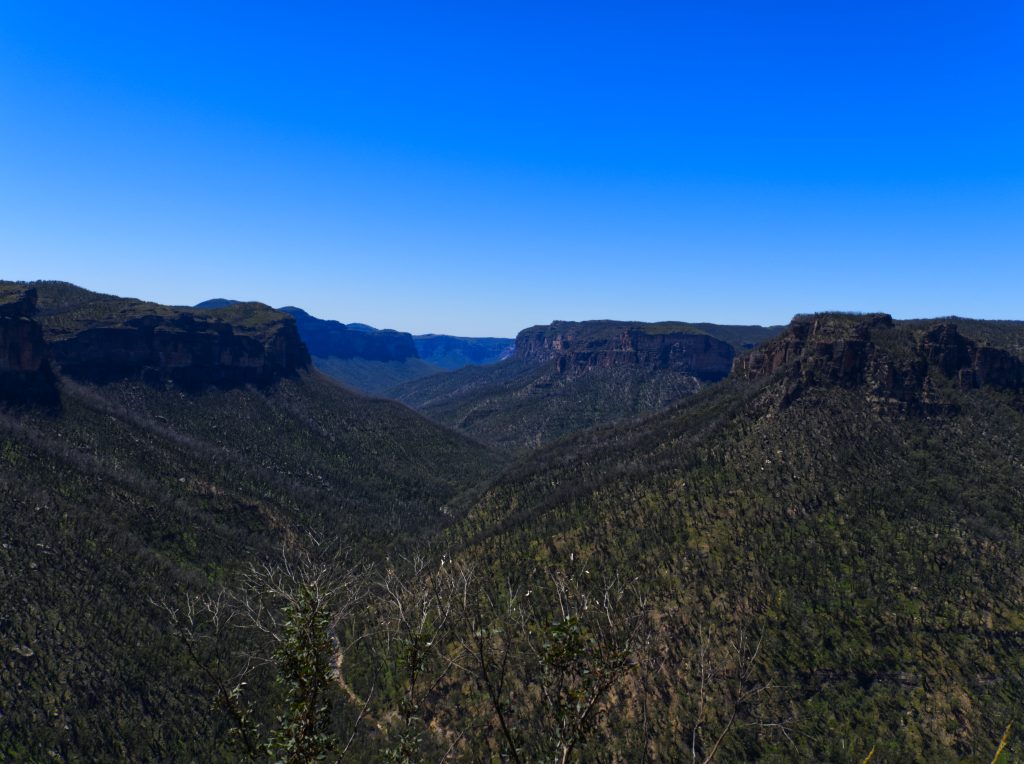
How to find it: The Asgard Swamp trail starts on Victoria Falls Road, which runs off the the Great Western Highway at Mount Victoria. The Asgard Swamp fire trail is a little over 4.5 kilometres down the road, and is quite a clear trail. It may not be signposted but is secured with a locked gate and walking path around it.
Stay on the fire trail until you reach the path on the left for the mine where the fire trail ends. Carry on straight ahead for about half a kilometre to get to Asgard Head for views of the Grose Valley and Burra Korain Head. This is another of my favourite walks in the mountains!
You can read more about the Asgard Swamp trail here.
Thor Head
Suburb: Mount Victoria
Distance: If you’re not doing the full walk then its about 6.5 kilometres return.
Difficulty: The fire trail part of the walk is easy, the last kilometre or so involves some incline and loose stones.
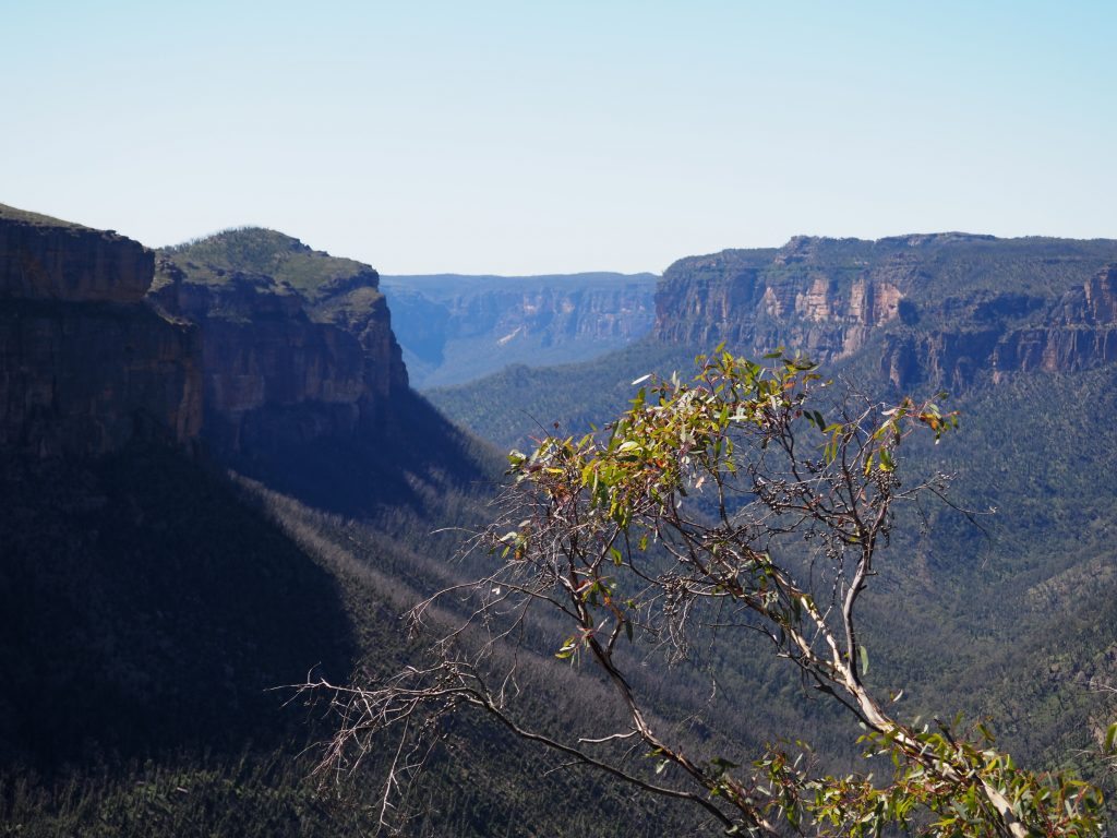
How to find it: The track leading to Thor Head is on the left about 2.5 kilometres down the Asgard Swamp track. This is a narrow and uneven track that climbs about 500m up to a cliff overlooking the Grose Valley. Following the cliff will bring you in sight of Thor Head, a rocky outcrop that offers the brave unobstructed views and a big drop. If you don’t want to climb all the way to the outcrop you can get much the same view from nearby.
Ikara Head
Suburb: Mount Victoria
Distance: Approximately 7 kilometres out and back
Difficulty: There’s a few up and down bits and a bit of rock scrambling. This is one of those tracks you keep coming round the corner and thinking you can see the end in front of you, only to get there and find it keeps going!
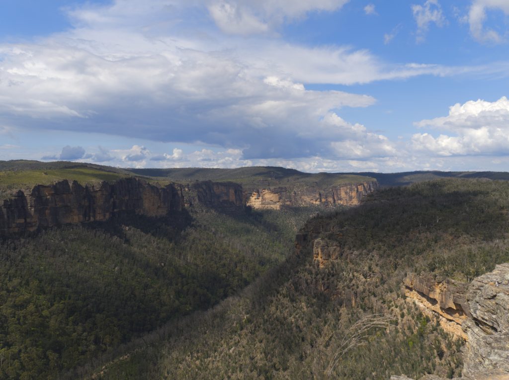
How to find it: I discovered this superb track when a prolific flowering of the rare pink flannel flowers after the Black Summer bushfires made it a tourist attraction. The flowers are long gone but the views on this track are definitely worth the effort!
The entry to this track is roughly 3.5 kilometres down Victoria Falls Road. There was a sign earlier in the year so people could find the flowers, but don’t rely on that still being there. If you set the GPS for Ikara Head it will take you to the fire trail, but the walking track itself starts from one of the side runoffs cut out on the left about 100metres before the fire trail.
These are some of the best views you can only access on foot that I’ve found, but as with all of my posts I’ll add more as I find them! Do you know somewhere I need to add to the list? Drop a comment below.
In the meantime, if you enjoyed this please share!
